Orpax Qualtra
We understand, we solve and we deliver....
Running a business whether big, small or medium constantly involves challenges. At OQ we look forward to helping you by working as an extension of your valuable work team to better understand your requirements, seek solutions for your bottlenecks and to deliver high quality solutions. We do all this by taking maximum effort to ensure.
Services & Domains
IT Services
Cloud Computing, Full Stack Development, Mobile App Development, Smart City Applications, Data Analysis Tool, AI Bots.
GIS Services
GIS Mapping and Digitization, Data Base Development, Terrain Modelling, Digital Elevation Model, Web GIS Application.
Digital Marketing and Designing
Social Media Marketing, SMS Marketing, Email Marketing, Google Ads, Creative and Concept Designing.
Projects
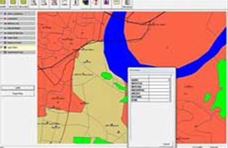
Health Monitoring System in the District of Agra - A GIS based Health Monitoring System : Client - FUTURE GROUP
- Health Monitoring System (HMS) is a cost effective comprehensive GIS based decision making system for Urban and Rural Health scenario.
- A key goal of this effort is to ensure that the growing collection of high quality health data can be easily integrated into a central health GIS, allowing agencies and donor organizations to derive added value from the synthesis of their own health data with the spatial and health data developed by others.
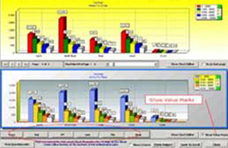
Crosstab Analysis Software for All India Pension Survey : Client - NIELSEN INDIA
- Crosstab provides an user-friendly analysis software to view and query the Survey data.
- Capability to generate crosstabular analysis on multiple variables.
- Capability of setting filters and conditions.
- Both graphical and tabular display.
- GUI based design allows end-users flexibility and ease to view and generate queries intuitively.
- The application could be designed as a web-based solution for data sharing across different organizations and countries.
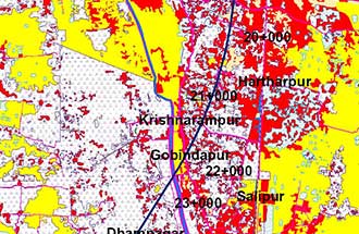
High Speed Railway Corridor : Howrah-Haldia, Client - INECO, PROINTEC
- Geo referencing of toposheets.
- Geo referencing of Satellite Imagery.
- Mosaicing of satellite Imageries and Toposheets.
- Marking of the alignment on satellite Imagery.
- All digital layers in soft copy.
- Calculation of the land use areas.
- Contour Generation/ DEM.
Products
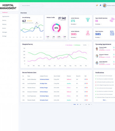
Hospital/Nursing Home Management Software
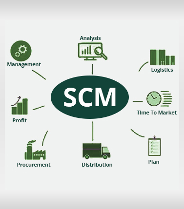
Supply Chain Management Software
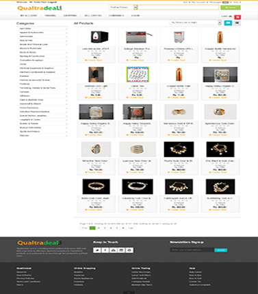
E-commerce B2B
Testimonials
This is to certify that Mr. Arnab Paul and his team has developed a GIS based application software tool for the project, namely, Mapping of all private Health Facilities in the district of Agra, which was sponsored by the Futures Group, New Delhi.
Dr. B. P. Thiagarajan Senior Manager, The Nielsen Company
We are extremely satisfied with the Factfinder 1.0 software they have designed and developed for us and it is now being actively used by over 60 firms and organizations (comprising of the leading public and private sector banks, all the major mutual funds, all life insurance firms, financial market regulators, SROs and the Union Government) operating out of India.
Mr. Sandeep Ghosh Executive Director, IIMS Dataworks
Clients
